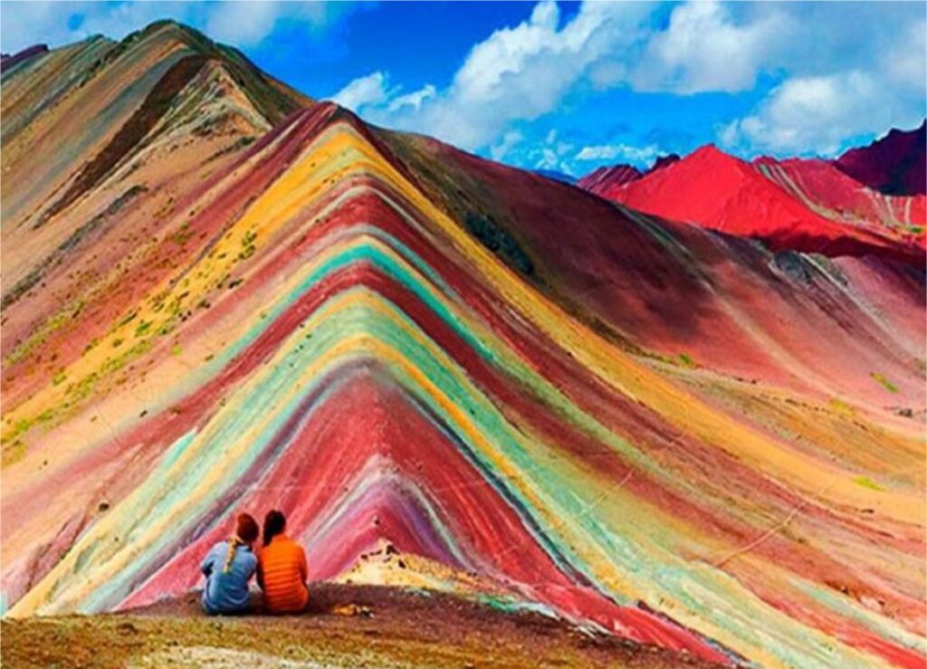
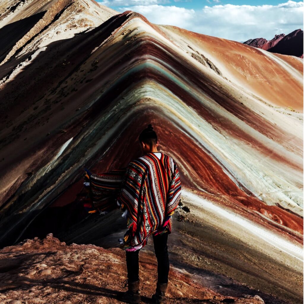
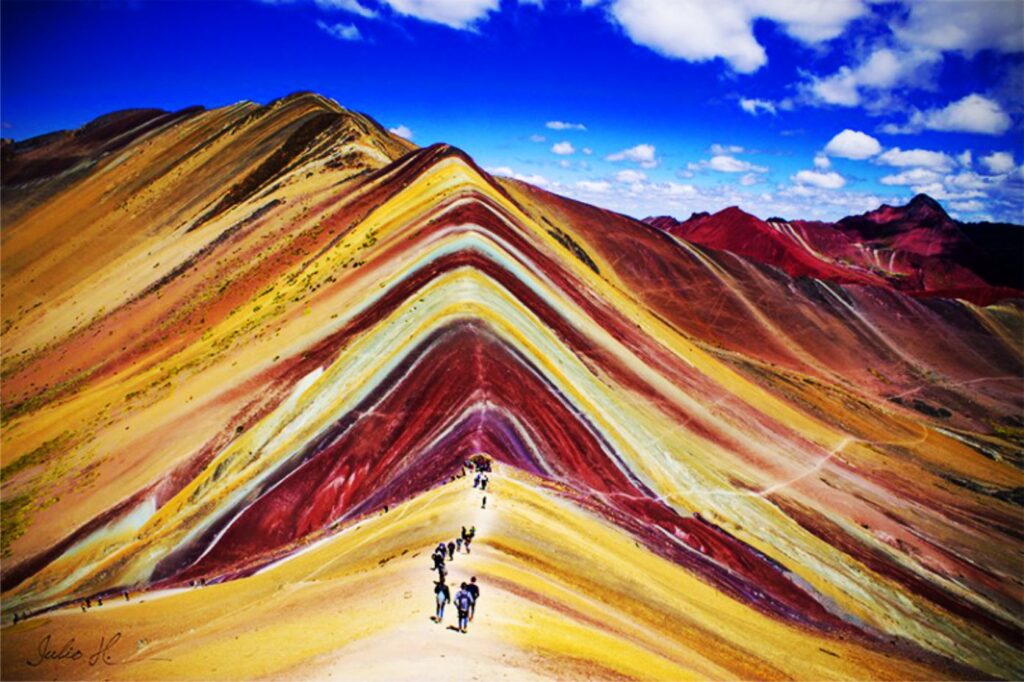
The mountain of the 7 Colors (also called Vinicunca or simply ‘rainbow’) is one of the new and best attractions in Peru. Located more than 100 kilometers from the city of Cusco, on an altitude summit located at 5,200 meters above sea level (m.a.s.l.) It is a mountainous formation tinged with various shades product of the complex combination of minerals. The slopes and summit are stained in various hues including red, purple, green, yellow, pink, and other variations. This tourist attraction was surrounded by ice not many years ago. Since 2016, this place receives hundreds of visitors a day, becoming, along with Machu Picchu, one of the most visited places in Cusco-Peru. Here is all the information about the Mountain of 7 Colors.
Location, height and more information:
Why is it called the Mountain of the 7 Colors? – According to various investigations carried out in the place, the multicolored tonalities are due to the different minerals that the area covers in capable. These natural substances began to form 65 million years ago when water and rain covered its slopes and peaks. As time passed, the extreme weather thawed the snow that formed there, revealing to the world what is today one of the most important tourist attractions in Cusco.
Location and height – This amazing place is located in the Andes of Peru, in the department of Cusco and province of Canchis, at 5,200 meters above sea level, an area of considerable elevation. It belongs to the people of Pitumarca who call it “Cerro Colorado”. Because it is located on the way to the imposing snowy Ausangate, this site was known long before by the adventurers who dared to do the trek. The photos that they published on Facebook and Instagram, made him gain popularity. Since 2016 it has been a very visited tourist attraction.
How to get? – Due to its location, a little more than 100 kilometers from the city of Cuzco, this place is reached by car in the first instance. After a trip of approximately 2 hours along the Longitudinal Highway of the Sierra del Sur Peruano, you will arrive in Pitumarca. The journey continues along a trail to the community of Pampa Chiri. From there you follow a route through mountainous slopes. This journey is 5 kilometers long and can be done on foot or on horseback to finally arrive at Vinicunca. There are tours that offer this service.
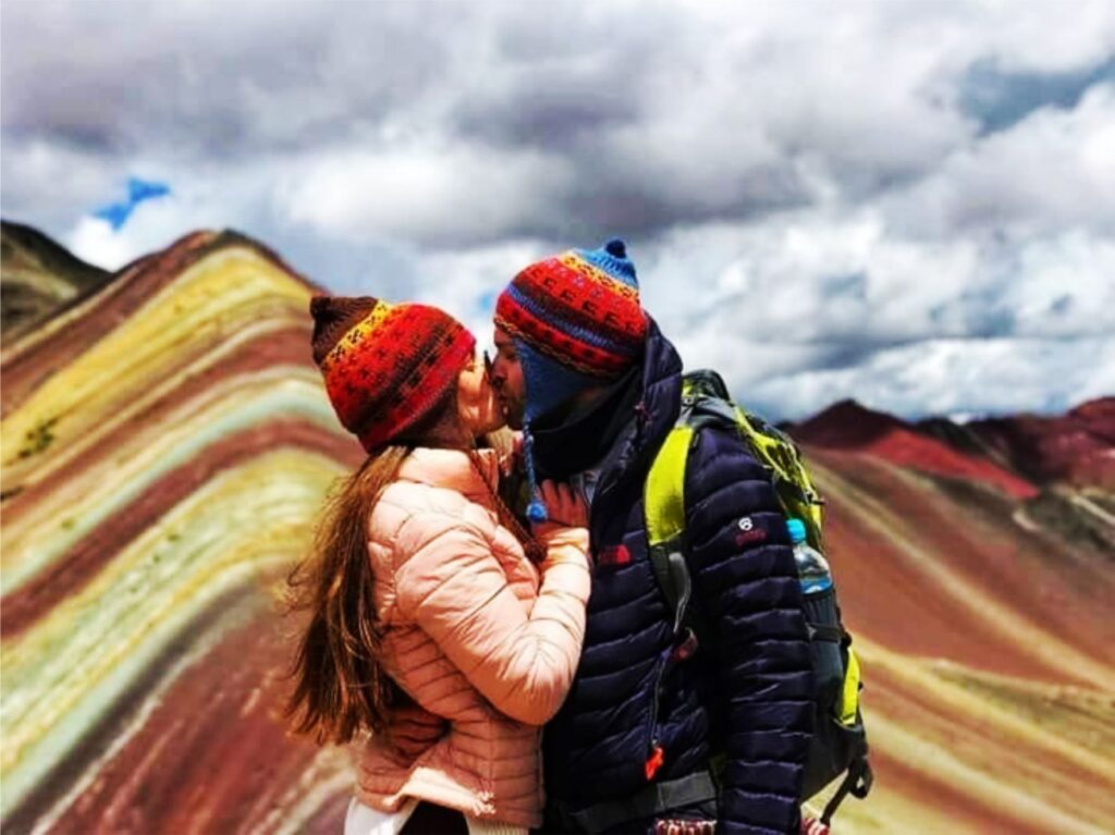
Climate – The climate, typical of the highest areas of Cusco, is cold. Rain, wind and altitude sickness (or soroche) can be the biggest obstacles for travelers. Temperatures can drop below zero degrees Celsius. The best time to do this adventure is during the dry season (April to October) when river rains are less likely. If you plan to visit during the rainy season (November to March) bring a rain poncho with you.
Flora and fauna – The incredible geography of the place is the scene of typical animals from high Andean areas such as llamas, alpacas and vicuñas. The inhabitants of the area breed horses to offer them as transport to visitors. Due to the height of this region, the ichu or natural herb of the Andes abounds.
